Leveringstid: 2-4 uker
Handlinger
Beskrivelse
Omtale
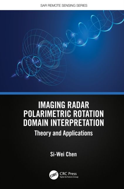
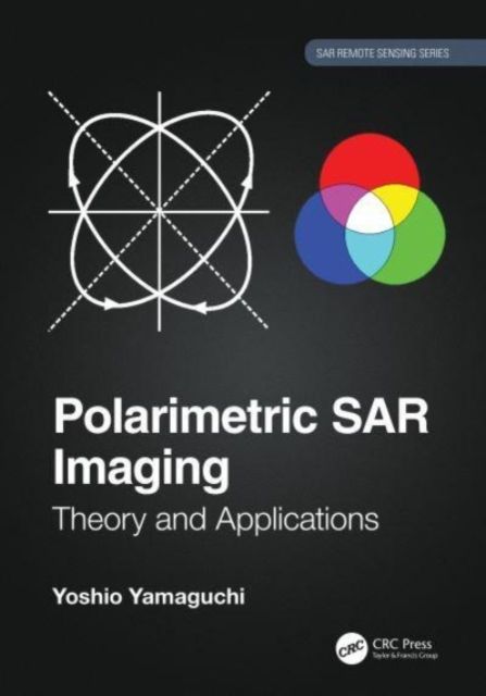
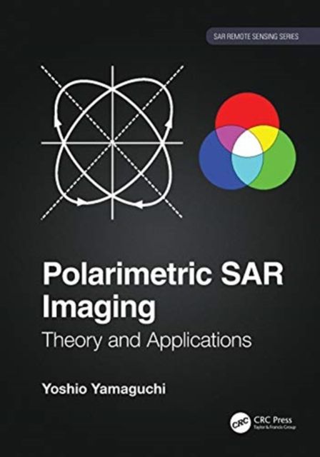
Radar polarimetry has been highly sought after for its use in the precise monitoring of Earth's surface. Polarimetric SAR Imaging explains the basic concepts of polarimetry and its diverse applications including: deforestation, tree classification, landslide detection, tsunamis, volcano eruptions and ash distribution, snow accumulation, rice field monitoring, urban area exploration, ship detection, among other applications. The explanations use actual data sets taken by Advanced Land Observing Satellite (ALOS and ALOS2). With the increasing problems presented by climate change, there is a growing need for detailed earth observation using polarimetric data. As the treatment of vector nature of radar waves is complex, there is a gap between the theory and the application. Polarimetric SAR Imaging: Theory and Applications addresses and fills this gap. Features:Provides cutting-edge polarimetric applications for earth observation with full color images.Includes detailed descriptions of theory, equations, expansions, and flowcharts, and numerous real examples. Explains concepts, data analysis, and applications in simple and clear language aimed at an intuitive comprehension. Provides specific and unique examples of PolSAR images derived from actual space and airborne systems (ALOS/ALOS2, PiSAR-x/L) Covers the wide range of the radar polarimetry, especially the decomposition of the polarimetry data, an original method developed by the author using the Japanese polarimetric SAR dataIllustrated in full color using images generated by polarimetric techniques, this book is easy to understand and use for both student and expert, and is an excellent resource both in the classroom and in the field.
-
Utgivelsesdato:
19.08.2020
-
ISBN/Varenr:
9780367478315
-
Språk:
, Engelsk
-
Forlag:
CRC Press
-
Fagtema:
Geofag, geografi og miljøkunnskap
-
Litteraturtype:
-
Sider:
334
-
Høyde:
18.2 cm
-
Bredde:
26.1 cm
