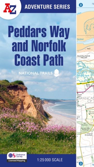
Peddars Way and Norfolk Coast Path : With Ordnance Survey Mapping
A -Z Adventure Series
|
Heftet
Leveringstid: 7-30 dager
Handlinger
Beskrivelse
Omtale
The A-Z Adventure Series uses Ordnance Survey mapping and is the perfect companion for walkers, off-road cyclists, and anyone wishing to explore the great outdoors. Together, Peddars Way and the Norfolk Coast Path form a 93 mile (150km) National Trail across west Norfolk and along its northern coast. The route is clearly shown on the map and passes through a rich landscape with fantastic scenery, places of interest, and an abundance of wildlife. This National Trail Map features detailed Ordnance Survey mapping at a scale of 1:25 000, providing complete coverage of Peddars Way and the Norfolk Coast Path. There is also a route planner included to show distances between places and the amenities available making it easy to plan your adventure. Additional features include: Information CentresHotels/B&BsYouth HostelsCampsites (seasonal opening)Public HousesShopsRestaurantsCafes (seasonal opening)Petrol Stations Other books available in the A-Z Adventure series include: Peak District (Dark Peak), Cotswold Way, South Downs Way, Pembrokeshire Coast Path, South West Coast Path and The North Coast 500.
Detaljer
-
Utgivelsesdato:
27.03.2025
-
ISBN:
9780008727734
-
Språk:
, Engelsk
-
Forlag:
HarperCollins -
Fagtema:
-
Serie:
A -Z Adventure Series
-
Litteraturtype:
-
Utgave:
New Revised Third edition
-
Sider:
80
-
Høyde:
23.9 cm
-
Bredde:
13.6 cm