Brighton and Worthing A-Z Street Atlas : Navigate Your Way Around Brighton and Worthing with Ease Using Trusted Mapping
Heftet
Leveringstid: 7-30 dager
Handlinger
Beskrivelse
Omtale
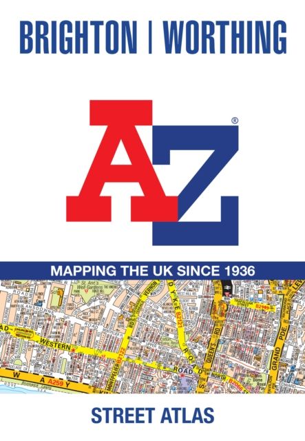
Navigate your way around Brighton and Worthing with this detailed and easy-to-use A-Z Street Atlas. Printed in full-colour, paperback format, this atlas contains 41 pages of continuous street mapping. The main mapping extends to Hove, Newhaven, Shoreham-by-Sea at a scale of 4 inches to 1 mile, featuring postcode districts, one-way streets, park and ride sites, and safety camera locations. Areas covered include:• Findon• Durrington• Goring-by-Sea• Lancing• Southwick• Patcham• Falmer• Woodingdean• Saltdean• Rottingdean• Peacehaven Separate coverage of Lewes, Seaford, Steyning, Bramber and Upper Beeding is provided. The large-scale street map of Brighton city centre – at a scale of 8 inches to 1 mile – includes:• Postcode map of the Brighton area• Road map of the Brighton area A comprehensive index lists streets, selected flats, walkways and places of interest, place, area and station names. Additional healthcare (hospitals, walk-in centres and hospices) are indexed as well.
Detaljer
-
Utgivelsesdato:
27.03.2025
-
ISBN:
9780008730871
-
Språk:
, Engelsk
-
Forlag:
HarperCollins -
Fagtema:
-
Litteraturtype:
-
Utgave:
New Eighth edition
-
Sider:
68
-
Høyde:
21.6 cm
-
Bredde:
11.4 cm
